Fototapeta Colourful Illustration of a world map showing country names, State names (USA & Australia), capital cities, major lakes and oceans. Print at no less than 36". Jpeg no need for vector program.

Colourful Illustration of a world map showing country names, State names (USA & Australia), capital cities, major lakes and oceans. Print at no less than 36". Jpeg no need for vector program.

Numer zdjęcia: 215097875, autor: © oliophotography

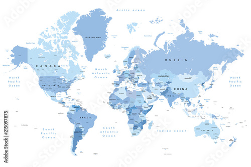
Tytuł: Colourful Illustration of a world map showing country names, State names (USA & Australia), capital cities, major lakes and oceans. Print at no less than 36". Jpeg no need for vector program.

Na wydruku nie będzie znaku wodnego ani numeru grafiki

Kliknij na zdjęcie aby powiększyć
cm