Fototapeta world map - all layers outlined stars-Colourful Illustration showing country names, State names (USA & Australia), capital cities, major lakes and oceans. Print at no less than 36". Jpeg image

world map - all layers outlined stars-Colourful Illustration showing country names, State names (USA & Australia), capital cities, major lakes and oceans. Print at no less than 36". Jpeg image

Numer zdjęcia: 215084307, autor: © oliophotography

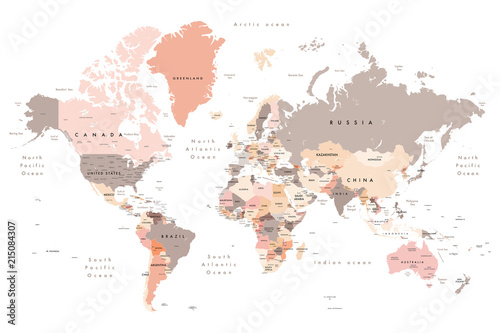
Tytuł: world map - all layers outlined stars-Colourful Illustration showing country names, State names (USA & Australia), capital cities, major lakes and oceans. Print at no less than 36". Jpeg image

Na wydruku nie będzie znaku wodnego ani numeru grafiki

Kliknij na zdjęcie aby powiększyć
cm