Fototapeta World single states political map with national borders. Each country area with its own color. Illustration on white background under Robinson projection. English labeling.

World single states political map with national borders. Each country area with its own color. Illustration on white background under Robinson projection. English labeling.

Numer zdjęcia: 118274355, autor: © Peter Hermes Furian

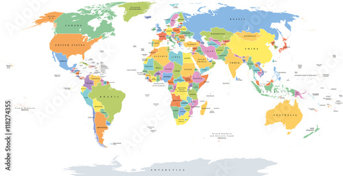
Tytuł: World single states political map with national borders. Each country area with its own color. Illustration on white background under Robinson projection. English labeling.

Na wydruku nie będzie znaku wodnego ani numeru grafiki

Kliknij na zdjęcie aby powiększyć
cm