
Numer zdjęcia: 727164838, autor: © Gary Riegel
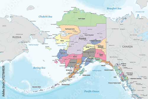
Tytuł: Political map showing the counties that make up the state of Alaska in the United States
Na wydruku nie będzie znaku wodnego ani numeru grafiki
zł
134,50 zł
Copyright Fototapeta4U.pl 2024


