Uwaga Promocja!
Rabat -50% na wszystkie produkty. Podaj w koszyku kod - QSNIZI8
Do końca oferty pozostało 20:54:08 20:54:11
x

Fototapeta United Kingdom vector map colored by countries and regions. Districts and counties map of England, Wales, Scotland and Northern Ireland

United Kingdom vector map colored by countries and regions. Districts and counties map of England, Wales, Scotland and Northern Ireland

Numer zdjęcia: 236820109, autor: © brichuas

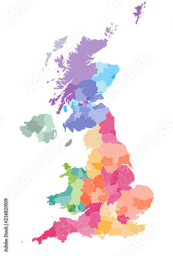
Tytuł: United Kingdom vector map colored by countries and regions. Districts and counties map of England, Wales, Scotland and Northern Ireland

Na wydruku nie będzie znaku wodnego ani numeru grafiki

Kliknij na zdjęcie aby powiększyć
cm