Fototapeta World Map of CANADA and NORTH AMERICA REGION: America, Alaska, Canada, Greenland, Labrador Peninsula, Arctic Archipelago, Great Lakes. Geographic chart with oceanic coastline, islands and rivers.

World Map of CANADA and NORTH AMERICA REGION: America, Alaska, Canada, Greenland, Labrador Peninsula, Arctic Archipelago, Great Lakes. Geographic chart with oceanic coastline, islands and rivers.

Numer zdjęcia: 275185324, autor: © «MysticaLink»

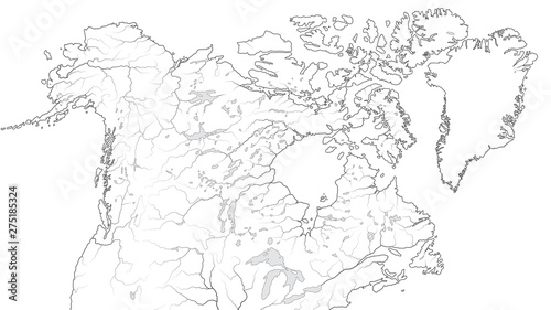
Tytuł: World Map of CANADA and NORTH AMERICA REGION: America, Alaska, Canada, Greenland, Labrador Peninsula, Arctic Archipelago, Great Lakes. Geographic chart with oceanic coastline, islands and rivers.

Na wydruku nie będzie znaku wodnego ani numeru grafiki

Kliknij na zdjęcie aby powiększyć
cm