Fototapeta Africa regions political map with single countries. United Nations geoscheme. Northern, Western, Central, Eastern and Southern Africa in different colors. English labeling. Illustration. Vector.

Africa regions political map with single countries. United Nations geoscheme. Northern, Western, Central, Eastern and Southern Africa in different colors. English labeling. Illustration. Vector.

Numer zdjęcia: 191324534, autor: © Peter Hermes Furian

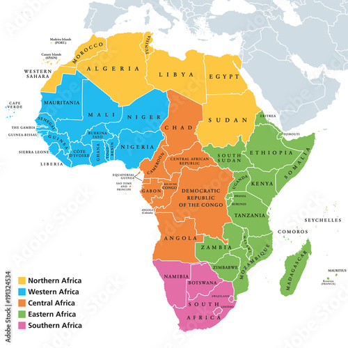
Tytuł: Africa regions political map with single countries. United Nations geoscheme. Northern, Western, Central, Eastern and Southern Africa in different colors. English labeling. Illustration. Vector.

Na wydruku nie będzie znaku wodnego ani numeru grafiki

Kliknij na zdjęcie aby powiększyć
cm