Fototapeta Dominica political map with capital Roseau and important places. Island country in the Lesser Antilles region of the Caribbean Sea. English labeling and scaling. Illustration.

Dominica political map with capital Roseau and important places. Island country in the Lesser Antilles region of the Caribbean Sea. English labeling and scaling. Illustration.

Numer zdjęcia: 85254529, autor: © Peter Hermes Furian

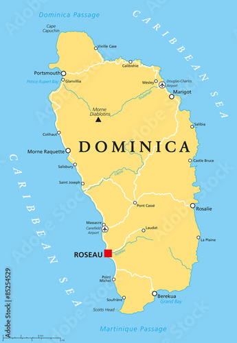
Tytuł: Dominica political map with capital Roseau and important places. Island country in the Lesser Antilles region of the Caribbean Sea. English labeling and scaling. Illustration.

Na wydruku nie będzie znaku wodnego ani numeru grafiki

Kliknij na zdjęcie aby powiększyć
cm